Presence of wet snow combined with meteorological data can be used for flood risk warning. Several European countries are vulnerable to snow melt related flooding. Inclusion of satellite observations of snow wetness will make modelling and risk warning more robust and accurate.
Countries with significant mountains, or countries affected by mountains through rivers, are vulnerable to impacts from the seasonal snow cover. Larger parts of Europe are, therefore, vulnerable as they are affected from large amounts of snow falling in the Alps, the Carpathian and the Scandinavian Mountains.
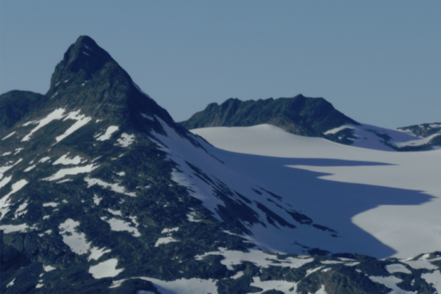
Melting snow in the Scandinavian Mountains, Jotunheimen, Norway.
The WetSnow project
The main objective of the WetSnow project is to make algorithms previously developed for the Copernicus Sentinel satellites fully operational. The sub-objectives are:
- Full calibration of algorithms using data from 2017 to 2020,
- Extensive validation of the algorithms in Norway and Romania,
- Implementation of an operational processing chain made available for governmental organisations.
The finalised snow wetness product will therefore have great potential for users, for example within water and energy management, meteorological institutes, hydropower production, emergency early warning (floods and avalanches), climate research, search-and-rescue as well as ski tourism.
The WetSnow product
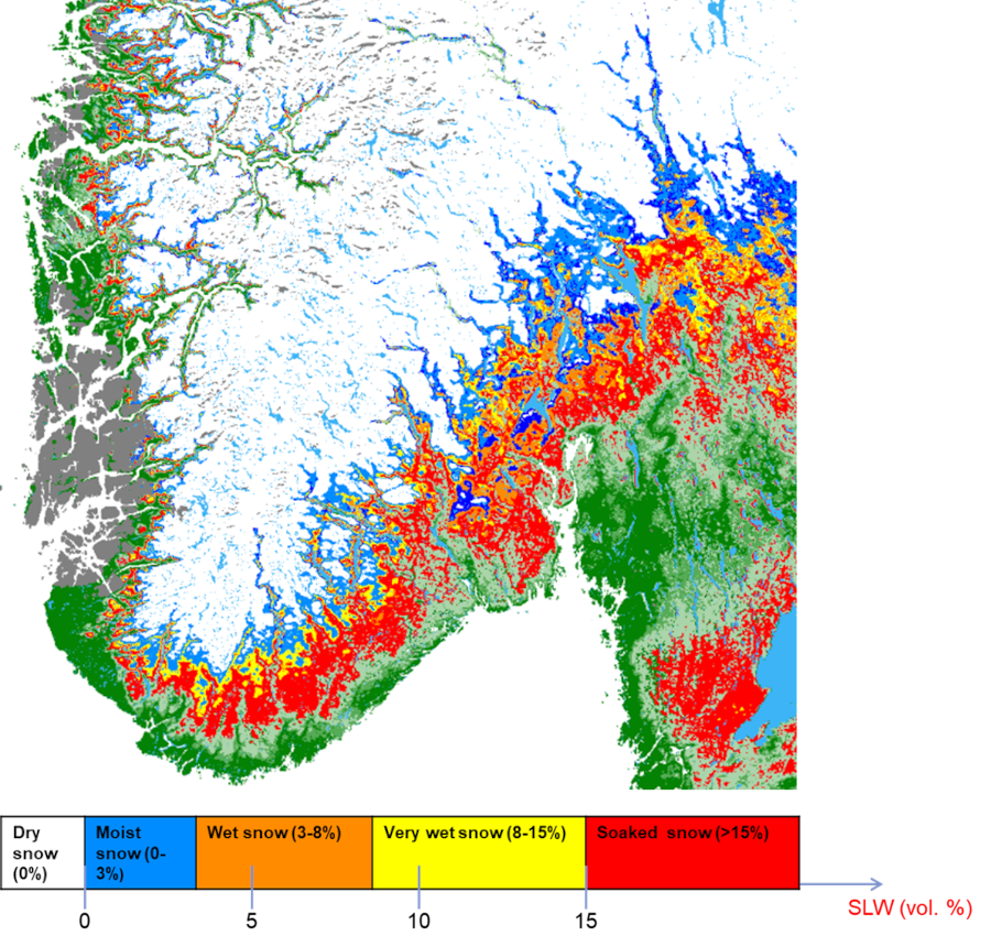
The algorithm used for generation the wet snow product uses the Sentinel-3 SLSTR (Sea and Land Surface Temperature Radiometer) instrument to retrieve information about snow grain size and snow surface temperature. The temporal development of these variables is also used. Melting snow drives the optical, effective grain size up significantly. The amount of liquid water in the snow surface is related to this observed grain size. The temperature measurements assures that there cannot be other processes, in particular surface hoar, that create the measured large snow grain size. Based on this, the algorithm infers five snow wetness categories: Dry, moist, wet, very wet and soaked snow.
The WetSnow project
The WetSnow project is carried out by a collaboration between Romania and Norway. The Romanian National Meteorological Administration (Meteo Romania, lead partner) and the Norwegian Space Agency (NOSA) are the contract partners with funding from the FPCUP project (lead by DLR) which is financed by the European Commission’s Copernicus programme. In Norway, the technical work is carried out by the Norwegian Computing Center (NR) through a subcontract from NOSA. The project started in September 2021 and will be completed by the end of 2023. Algorithm development has mainly taken place at NR, web portal development has mainly taken place at Meteo Romania, field measurements for calibration and validation have taken place in Jotunheimen (Norway) and the Carpathian (Romania). Both countries have implemented the processing chain and portal in their premises. Demonstration and work with the users have taken place in both countries, in addition to general dissemination in all Europe.
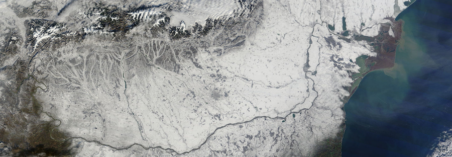
Winter in Romania. The Carpathian Mountains in the north is vulnerable to wet-snow avalanches.