A satellite product that assists forecasting and modelling for applications in hydrology, meteorology and hazard warnings.
Wet snow avalanches are the most dangerous ones. The snow wetness (snow liquid water content) is a main trigger factor of many avalanches. The satellite-derived snow wetness information can help assess the threshold value of avalanche release, thus contributing to more accurate avalanche monitoring and warnings.
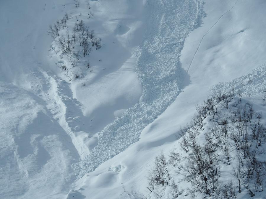
Wet snow avalanches are the most dangerous snow avalanches.
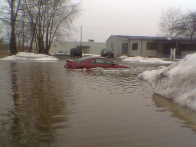
Rapid snow melt (due to high air temperatures and wind) in combination with heavy rain, might create a flood situation.
The new wet snow product uses the Sentinel-3 SLSTR instrument to retrieve information about snow grain size and snow surface temperature, which is used to infer snow surface wetness. The product provides five snow wetness categories: dry, moist, wet, very wet and soaked snow.

The snow wetness products show how the snow surface developed from 27 March, through 2 April until 4 April 2023 for Norway and Sweden. Warmer weather below about 1500 m.a.s.l. made the snow surface start melting. The wetness was largest at low elevations, and in general gradually decreased with elevation.